The Kintyre Way
Scotland's Adventure CoastGo Wild in Kintyre! Walk the beautiful and unexplored wild Atlantic coast of the Kintyre peninsula with the Kintyre Way.
Along 100 miles over 4-7 days you will discover hidden coves, deserted beaches, woods & forests, castles & fishing villages and an abundance of wildlife. Stretching from Tarbert in the North to Machrihanish in the South, the seven graded & way-marked sections offer a variety of walking terrain from serious hiking to gentle rambles.
Walk the Kintyre Peninsula
The Route
The waymarked route meanders 100 miles along the length of the Kintyre peninsula, connecting several villages and incorporating many popular visitor attractions. The trail criss-crosses the Kintyre peninsula, connecting communities and landscapes, people and produce. From the west coast with its deserted, sandy beaches pounded by Atlantic breakers to the gentler bays of the east coast, the views of Loch Fyne to the views of Ireland, you’ll be astounded by the diversity and beauty of the landscape as you walk the trail. One of the highights is walking the wild 'Mull of Kintyre'.
Not only does it offer locals and visitors spectacular scenery, fantastic opportunities for outdoor exercise and some of the best wildlife watching in Scotland, it also brings a range of health and wellbeing benefits for walkers, runners and cyclists.
What will I see?
It’s ideal for those looking for a long-distance adventure and for those who simply want a fun day trip on one of the seven sections. This remote and untouched part of Argyll is home to a vast array of wildlife. Look out for seals, otters and basking sharks in the waters and red squirrels and orange-tip butterflies in the woods. The last section will take you through the Scottish Wildlife Trust nature reserve at Largiebaan on the Mull of Kintyre. Along with views to Ireland, you might see wild goats and kestrels, peregrines and barn owls. The Machrihanish Seabird Observatory offers incredible birdwatching opportunities.
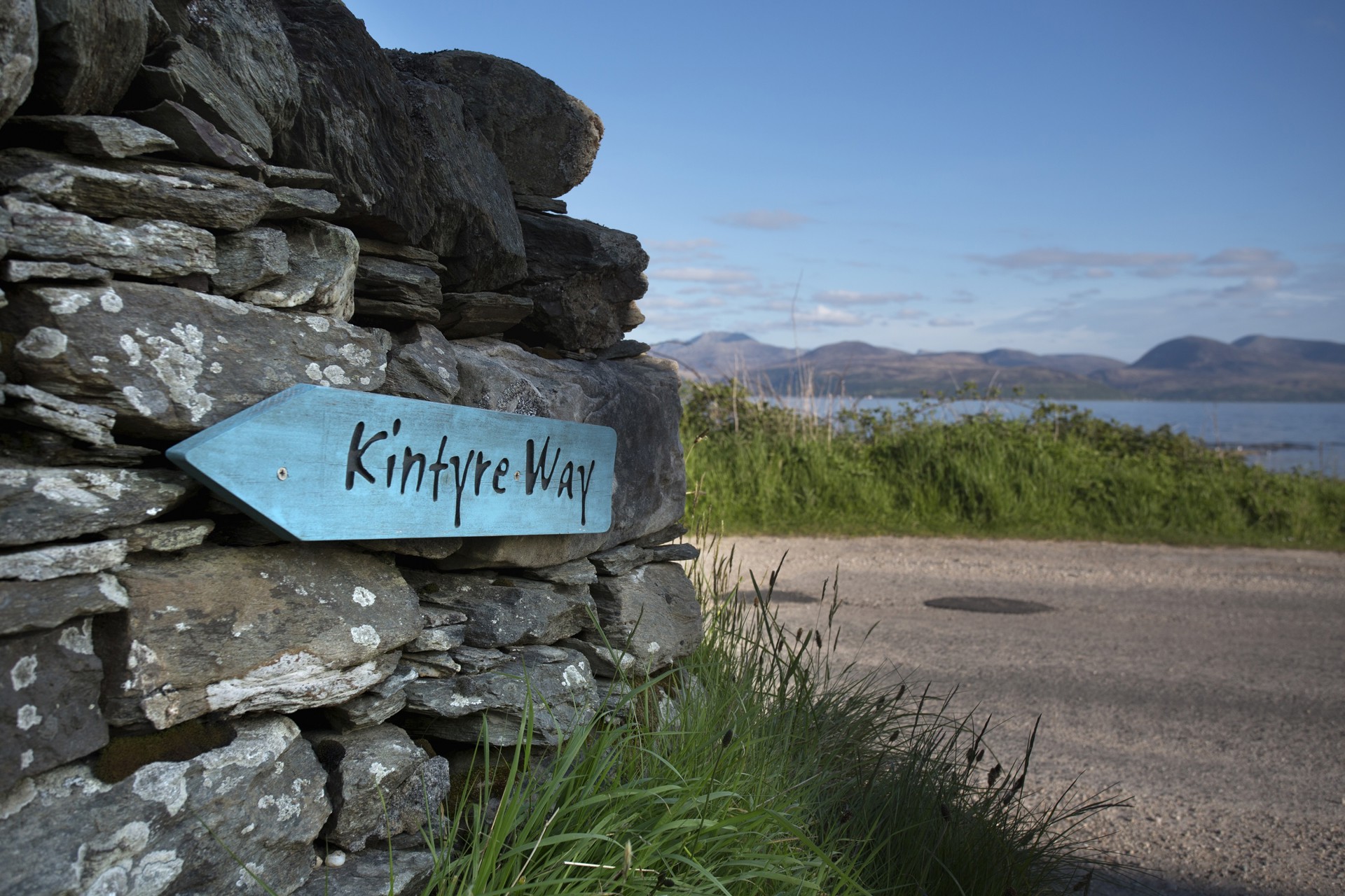
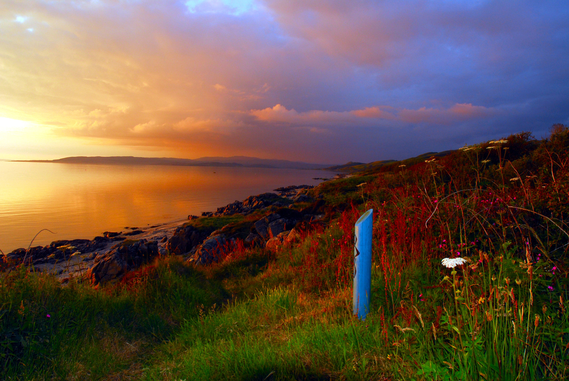
The Kintyre Way route is way-marked by blue posts sporting the Kintyre Way logo. Look out for the mile marks which are found throughout the route. You’ll also find seating made with local materials positioned at various viewpoints along the way – perfect for taking a breather!
Kintyre Way Route
Plan your next adventure11 miles | 5-8 hours
Starting at Tarbert’s bustling harbour and yacht haven, the Kintyre Way begins its journey down the East coast of Kintyre. Winding its way up from historic Tarbert Castle, the route follows high above the coastline with extensive panoramic views over to the island of Arran across the Kilbrannan Sound. Gentle paths lead down to Skipness where just a short walk away is the imposing Skipness Castle and Seafood Cabin and the village shop. A visit is highly recommended!
Suitable for walking, Running or cycling*.
*cyclists should avoid the castle paths and use alternative local paths
10 miles | 5-7 hours
This section takes you across open moorland before brining you to the secluded and attractive Loch Ciaran. Known for its birdlife and brown trout it is popular with the more adventurous anglers and the perfect picnic stop. From here forest walks wind their way down to the village of Clachan where there is a good selection of accommodation. A visit to Dun Skeig Hill Fort, sited to the South East of the village, is highly recommended.
From here forest walks wind their way down to the village of Clachan where there is a good selection of accommodation. A visit to Dun Skeig Hill Fort, sited to the South East of the village, is highly recommended.
Suitable for walking, running and cycling.
9 miles | 5-7 hours
Now on the West coast the Kintyre Way follows the shores of the Atlantic offering walkers fantastic views over to Islay, Jura and Gigha. The walking here is predominantly on the shore with the sea only a few steps away. Tayinloan has a small selection of excellent accommodation and a well-stocked Village Shop.
Suitable for walking, running and cycling*.
*Cyclists may be best staying on the main A83 as a majority of the shoreline is pebbles.
16 miles | 6-9 hours
This section of the Kintyre Way is a very varied and satisfying walk. From Tayinloan the trail heads west high into the hills. Deucheran Hill offers walkers open views of Kintyre and its coastlines bringing you into Deer Hill (Cnoc na Gabhar) high above Carradale.
Here you are rewarded with a stunning panorama taking in much of the east cost of Kintyre as well as the Arran mountains and Ailsa Craig. Carradale offers the perfect rest stop with abundant accommodation and eateries.
Suitable for walking, running and cycling.
22 miles | 7-10 hours
This section is a good days walking and takes you southwards through hugely varied countryside. From the superb rocky coastline at Waterfoot the trail leads you along the coastline before reaching Torrisdale Castle Estate. The woodland walk takes you through the beautiful estate grounds to door of Beinn an Tuirc Gin Distillery names after the highest hill in Kintyre above the estate.
From here you follow the track up through pastureland and forest before descending in to Ifferdale. Just a short walk to the east is Saddell Castle, the bay is most famous in recent times as the filming location for Paul McCartneys ‘Mull of Kintyre’ video.
Standing looking out to see is the Anthony Gormley figure ‘Grip’ installed in 2015 to celebrate 50 years of the Landmark Trust who manage the estate. Back on the Kintyre Way the trail leads you through forest around Lussa Loch. From here you descend into the historic town of Campbeltown.
Campbeltown has a host of amenities including the The Picture House, one of the oldest surviving purpose-built cinemas in the UK as well as a swimming pool and gym and of course the historic town and loch itself.
Suitable for walking, running and cycling.
22 miles | 7-10 hours
The penultimate section starts out from Campbeltown and follows the shore of Campbeltown Loch taking you past the tidal sand bar leading to Davaar Island. From here the panorama opens up and you are rewarded with stunning views of Ailsa Craig and further south to the island of Sanda. This quiet single-track road undulates along the coast line, taking you from high above the cliffs down to secretive bays.
On the final stretch you are met with the sandy beaches of Polliwilline and Dunaverty Bay, perfect for taking of those boots and having a dip in the sea.
Dunaverty was also the site of the Battle of Dunaverty or Dunaverty Massacre and the location is now also known as Blood Rock. Little remains of the castle, although the site is protected as a scheduled monument. While here be sure to visit the award winning Muneroy Tea Rooms for a slice of their famous cakes (booking is recommended!).
Suitable for walking, running and cycling.
16 miles | 7-9 hours
Leaving Southend the trail takes you along the southern tip of Kintyre, passed St. Columba’s footprints and Keil Caves, before Carskey Bay sweeps before you. From here you will begin to wind up into the most remote part of Kintyre. Passing through wild countryside where there is little shelter and no mobile signal, this section offers breathtaking views over to Ireland, the Rathlin Isles and across the wild Atlantic with nothing between you and America. Keep your eyes out for Golden Eagles above and dolphins, whales and basking sharks below.
After completing the Kintyre Way (well done!) you are rewarded with your final stopping point Machrihanish. The village offers plenty of accommodation as well as the Old Clubhouse pub where you can sit back, relax and reward yourself with a good meal. For keen Golfers Machrihanish also offers two world famous golf courses and of course its famous 1st tee.
Suitable for Walking, running and cycling.*
*Much of this section off-road and not suitable for cyclists. Alternative routes may be researched.
Featured Walking Holiday
The week long itinerary starts off with shorter days to get the legs going and becomes progressively more challenging. The remote Kintyre peninsula on the West Coast of Scotland is a hidden gem waiting to be discovered. What better way to discover the ruined castles, rich wildlife, fabulous local seafood, welcoming hotels and magnificent scenery than on foot.
Simon Shares his Review
"The Kintyre Way reveals the best views and the best hospitality in the area. The route can easily be broken down to manageable 15-20 mile chunks, and each has its own unique character. Quieter and more peaceful than the more densely populated west highland way, this 100 mile epic is no less spectacular and should be at the top of every Scottish walker's to-do list. Most of it is also great fun on a bike, there are some great climbs and descents and fewer unrideable sections than there are no other more famous long distance rides."
SIMON FRASER | SCOTTISH WALKER'S TO-DO LIST
Simon Fraser is an avid walker from Northumbria and has just returned from his first visit to Kintyre.


